Digital Twin Cities
The simulation that runs alongside the real thing
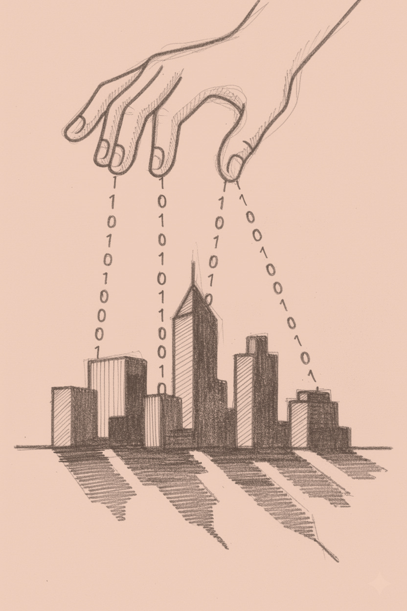
Singapore’s ghosts are casting shadows before the living exist. Virtual sunsets illuminate walkways that haven’t been poured. Planners manipulate phantom rooflines, watching digital darkness fall across non-existent pavement. They adjust. The shadows shift. Satisfied, they test wind patterns through corridors that exist only as coordinates.
This isn’t urban planning anymore. It’s urban puppetry with strings made of data.
Singapore’s Virtual Singapore project, completed in 2018, does what Jorge Luis Borges imagined in 1946: a map at 1:1 scale. The $73 million collaboration between government agencies rendered every building, road, and underground conduit in three dimensions, updated continuously. Traffic flows, energy consumption, air quality, crowd density: all streaming into a computational mirror that perceives the metropolis in real time.
The technology itself isn’t the story. The story is what happens when urban planning stops being about design and starts being about perception.
Singapore proved the concept. Helsinki tried to democratize it.
Helsinki’s Kalasatama district took Singapore’s surveillance perfection and dressed it in democratic clothing. Create digital counterparts, share them as open data, let residents explore future buildings in 3D before concrete was poured. Wind analysis software replaced costly wind tunnel tests. Solar studies predicted shadows years before they’d fall.
Helsinki thought they were being democratic. What they actually built was something more unsettling: a city that knows you’re coming before you do.
The participation wasn’t in planning. It was in consenting to be monitored.
What emerged wasn’t just a planning tool. It was an epistemological shift.
Traditional urban planning operates on predict-then-build logic. Model scenarios. Extrapolate from data. Make decisions about futures you cannot see. Then discover whether you were right when residents complain about wind tunnels between towers or shadows that kill sidewalk cafes.
The feedback loop spans years. The map is always outdated.
Helsinki’s computational doppelganger collapsed that gap. The virtual version doesn’t predict. It perceives.
Monitoring systems feed real-time data on carbon emissions, building performance, traffic patterns. The digital counterpart and the territory co-evolve.
When the computational mirror shows a problem, the problem already exists. Planners aren’t designing for hypothetical futures. They’re responding to a present they can finally see.
This shift from prediction to perception represents more than technical evolution. It’s a fundamental change in how power relates to space.
When you can witness everything, governance becomes response rather than foresight.
That sounds rational until you notice who benefits from the arrangement.
The preference for instrumental measurement over resident testimony involves status games as much as epistemology. Data carries authority that human perception doesn’t. When “the system shows” conflicts with “the neighbors say,” cities defer to the instrumented view. It’s not more accurate. Monitoring devices measure what we chose to measure. But quantification signals objectivity, and objectivity signals professional competence.
The optimization targets defensible decisions, not better cities.
Singapore demonstrated proof of concept. Helsinki attempted democratization. Shanghai scaled both the ambition and the implications.
Shanghai didn’t just build a digital twin. They built a panopticon that flatters itself as a planning tool, complete with 26 million virtual souls who don’t know they’re being replicated.
51World constructed a shadow city spanning 3,750 square kilometers, fed by satellites, drones, and ground-level detectors. They claim a 20% reduction in traffic congestion through dynamic signal adjustment, real-time building maintenance alerts, and emergency response coordination across a metropolis that generates more data daily than most municipalities process annually.
The marketing materials describe this as optimization.
The reality is something closer to what Jean Baudrillard warned about four decades ago: the precession of simulacra, where representations stop depicting reality and start producing it.
Consider what happens when a city official in Shanghai needs to make an infrastructure decision. They don’t survey the physical streets. They consult the virtual infrastructure. They run scenarios. They optimize against parameters the computational apparatus defines.
The simulated priorities become the municipal priorities. Not because anyone decided it should be that way, but because the digital version is simply more legible than the territory it represents.
This is where satirical extrapolation reveals what straight analysis would miss. Consider what this looks like administratively:
By 2027, Shanghai will have formalized the divorce between reality and its representation. Three departments: Physical City Operations (what happens), Digital Twin Optimization (what should happen), and Reconciliation Services (the therapists who explain why reality keeps disappointing the computational model).
The Digital Twin Optimization team has the corner offices with the good light. Air-conditioned rooms. Manipulating parameters. Running scenarios. Producing reports that show 23% efficiency gains if only the material city would cooperate.
The Physical City Operations team submits requests now, asking permission to adjust infrastructure to match the twin’s predicted patterns.
Nobody calls this strange. The computational version has better data. It can perceive the whole system. It doesn’t have to deal with actual weather or actual construction delays or actual human behavior that refuses to optimize.
Twice a month, representatives from both departments meet with Reconciliation Services. The Digital Twin team presents what should be happening. The Physical City team explains what is happening. Reconciliation produces reports that get filed and ignored. The twin’s projections are always right. The physical city is always the problem.
When someone suggests that maybe the physical city is the actual city and the twin is just a representation, they’re told they don’t understand systems thinking. The virtual version is the system. The streets themselves are legacy infrastructure that hasn’t finished upgrading yet.
The Municipal Planning Commission annual report includes a sentence that nobody thinks to question: “Our goal is to bring the territory into alignment with the digital twin’s performance metrics.”
The map doesn’t represent the territory anymore. The territory represents the map poorly.
This isn’t speculation. It’s James C. Scott’s nightmare scenario, updated for the sensor age.
Scott documented how high-modernist planning failed by imposing simplified schemas on complex realities. The illegible social fabric that made cities work got destroyed in the name of rational order.
Digital twins invert the failure mode. The problem isn’t oversimplification. It’s over-legibility.
The computational version captures so much detail that governance begins happening inside the apparatus rather than on the streets. The territory becomes a mere implementation detail for the map’s decisions.
Scott’s high modernism failed because it couldn’t see enough. Sensor-driven urbanism fails because it mistakes measured visibility for comprehensive truth.
Despite these risks, the cities building these systems tout efficiency gains: Singapore saved over SGD 25 million through better road mapping, Rotterdam improved flood management by 25%, Seoul cut travel times by 15%.
But what gets optimized depends on what gets measured. And what gets measured depends on what the detectors can perceive.
The Sidewalk Labs project in Toronto was the cautionary tale. Google’s sister company planned a sensor-laden smart neighborhood with continuous data collection. Infrastructure that monitors inhabitants and adapts in real time. The marketing promised “urban innovation.” The business model was data harvesting with architecture as a side effect.
It collapsed in 2020, and the autopsy is instructive. Ontario’s privacy commissioner resigned when Sidewalk refused to commit to de-identifying sensor data at point of collection. A grassroots movement called #BlockSidewalk organized against surveillance capitalism masquerading as innovation. The replacement design is notably devoid of gleaming tech.
What killed it wasn’t technical failure. It was that someone finally asked: who exactly is the city being optimized for?
The same infrastructure that makes a city legible to its planners makes its residents legible to anyone with access to the data. Traffic patterns are movement patterns are life patterns. The boundary between urban optimization and population surveillance is definitional, not technological.
Researchers describe these systems as “societal deep fakes”: representations that present themselves as reality while stripping away everything that resists quantification. The lovers meeting on corners. The informal economies in blind spots. The adaptive behaviors in unmeasured spaces.
A perfect computational mirror captures none of this. It captures only what can be sensed, and what can be sensed is what can be controlled.
This is the cultural preference that virtual counterparts reveal: governance defers to what can be measured over what can’t. The instrumented city promises an end to uncertainty, and in exchange we accept the progressive elimination of the unmeasured.
The question isn’t whether these systems work. They demonstrably do, by their own metrics.
The question is what kind of relationship between map and territory we’re building, and what that reveals about who we trust to define reality.
Singapore’s shadow studies improve pedestrian comfort. Shanghai’s traffic optimization reduces commute times. Helsinki’s carbon monitoring supports climate goals. The computational versions work because they’re coupled to interventions that change the actual streets.
But the coupling runs both ways.
The more decisions flow through the apparatus, the more the city must become model-compatible. The illegible spaces get optimized away. Scott’s “dark twin,” the unofficial reality that serves needs the planned system cannot, disappears into the measured.
Something strange happens at the junction between perception and governance. Despite sensor networks and comprehensive simulation capability, these virtual versions remain curiously peripheral to actual policymaking.
Officials run scenarios. Generate reports. Review analyses. Then they make decisions based on political pressure, constituent complaints, gut instinct. The computational infrastructure observes with inhuman precision. Governance still happens in the messy space between data and judgment.
The computational mirror can show exactly where congestion occurs. It cannot tell you which city council member will lose their seat if you reduce parking in their district. It cannot calculate the political cost of optimizing away the informal vendor economy that employs constituents who vote.
Monitoring networks don’t understand that the statistically underutilized park is where the neighborhood watch meets. They can’t see that the inefficient traffic pattern is what keeps cut-through traffic out of residential streets. They miss that the “dark” corner is dark because residents successfully lobbied to remove the streetlight that prevented them from seeing stars.
Yet something shifted culturally to make “the system shows” carry more weight than “the residents say,” and nobody can point to when that happened.
The answer is about anxiety as much as epistemology. Governing complexity is terrifying. The instrumented city promises certainty, or at least the appearance of it. “The simulation can see what you cannot” isn’t just a technical claim. It’s a psychological refuge. If the data dictates the decision, no one has to accept responsibility for the choice.
This is Scott’s high-modernist planning all over again. The detectors just make it look like empiricism instead of ideology.
Meet Kelvin. Municipal planner. Hasn’t walked an actual street in three years.
His office window looks out on a screen showing the virtual counterpart. The display casts flat blue light across his desk, washing out the actual cityscape beyond. Everything rendered in false-color heat maps and traffic flow vectors. When residents complain about noise, he adjusts the shadow city instead of visiting the neighborhood.
“The replica is more accurate than human perception,” he tells his team. Last week a resident called to report a dangerous intersection. Kelvin pulled up the sensor data, found no statistical anomaly, and closed the ticket. The resident had lived there forty years. The sensors had been installed last spring.
He doesn’t notice the irony. The apparatus can only monitor what his team decided to measure.
Kelvin is a composite, but his logic is real. He exists in planning departments from Singapore to Shanghai to Rotterdam. He’s not stupid. He’s captured.
Ask him why he trusts the instrumented view over resident reports. He’ll explain about sample size, measurement bias, subjective perception. He’s not wrong. But notice what happens to his face when you ask: what if a resident knows something the instruments don’t? The question doesn’t compute. It threatens the basis of his professional existence.
The status game is clarifying. Kelvin’s identity depends on technical expertise that residents don’t have. If Mrs. Chen’s forty years of lived experience matters as much as his sensor dashboard, what exactly does Kelvin contribute? The technology gives him permission to disregard testimony that would otherwise require engagement.
The instruments didn’t create this dynamic. They gave it an interface, a professional vocabulary, a defensible reason to trust the map over the territory.
While Kelvin consults his screen, Shanghai’s digital counterpart updates every few seconds. The city it represents has already changed by the time you finish reading this sentence. The computational version keeps pace. The computational version monitors.
But somewhere in those 3,750 square kilometers, in the gaps between detectors and the blind spots between cameras, the metropolis is still doing something the representation doesn’t know about.
The informal economies still operate in spaces too small to optimize. The lovers still meet on corners that the pedestrian flow algorithms can’t predict. The adaptive behaviors still emerge in illegible spaces that resist quantification.
The Physical City Operations team knows this. They file reports noting discrepancies between the twin’s predictions and the territory’s behavior. The reports accumulate in databases that the Digital Twin Optimization team doesn’t query.
The computational version gets more sophisticated. The instruments multiply. The territory keeps generating patterns that make no sense to the apparatus.
And the officials who run the city keep consulting the twin, then making decisions based on everything it cannot detect.
The simulation keeps learning. The territory keeps adapting in ways the representation can’t see. The gap between perception and reality is where the interesting things happen.
The consultants are already working on proposals to close that gap. The vendors are pitching new sensor packages. The municipal planners are writing grants.
Whether the lovers keep meeting on the unmapped corners depends on who gets to decide what legibility costs.


